Rapid Editor
From satellite imagery to predictive capabilities, edit maps quickly
CommonProductProductivityMap EditingSatellite Imagery
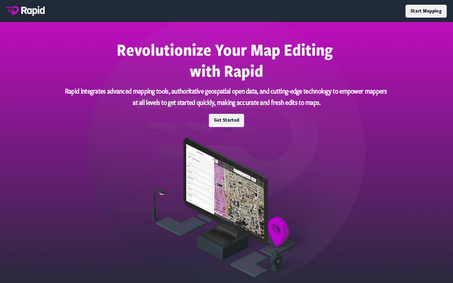
Rapid Editor empowers mapmakers of all levels with a convenient starting point for editing maps. Leveraging open data or artificial intelligence prediction, the new Rapid Editor allows you to create maps without manually drawing map geometries. By analyzing satellite imagery, AI provides a comprehensive overview of globally unmapped and missing data. Rapid displays open map data and machine learning detections. Rapid's intuitive user interface makes map creation clear and straightforward. Humanitarian and community organizations can easily conduct map projects with Rapid.
Rapid Editor Visit Over Time
Monthly Visits
1364
Bounce Rate
31.26%
Page per Visit
3.0
Visit Duration
00:01:17
